| Nundubbermere Queensland | |||||||||||||||
|---|---|---|---|---|---|---|---|---|---|---|---|---|---|---|---|
 Nundubbermere | |||||||||||||||
| Coordinates | 28°43′52″S 151°45′51″E / 28.7311°S 151.7641°E | ||||||||||||||
| Population | 102 (SAL 2021)[1] | ||||||||||||||
| Postcode(s) | 4380 | ||||||||||||||
| Area | 126.2 km2 (48.7 sq mi) | ||||||||||||||
| Time zone | AEST (UTC+10:00) | ||||||||||||||
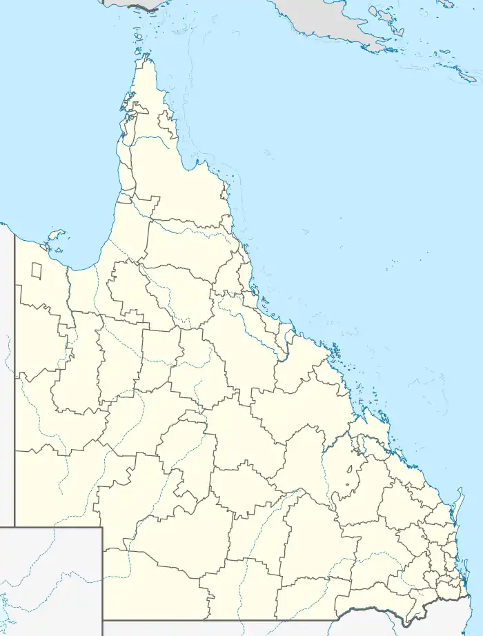
| Location |
| ||||||||||||||
| LGA(s) | Southern Downs Region | ||||||||||||||
| State electorate(s) | Southern Downs | ||||||||||||||
| Federal division(s) | Maranoa | ||||||||||||||
| |||||||||||||||
Nundubbermere is a rural locality in the Southern Downs Region, Queensland, Australia.[2] In the 2021 census, Nundubbermere had a population of 102 people.[3]
Geography
The land use is predominantly grazing on native vegetation with a small amount of crop growing.[4]
History
The locality takes its name from an early pastoral run in the Stanthorpe area.[2]
Land in Nundubbermere was open for selection on 17 April 1877; 53 square miles (140 km2) were available.[5]
On 15 June 1917, the Queensland Government approved the establishment of a state school at Nundubbermere.[6] In October 1917 the government reserved 2 acres (0.81 ha) of Crown land for the school.[7] It is unclear if the school ever opened.
Demographics
In the 2016 census, Nundubbermere had a population of 98 people.[8]
In the 2021 census, Nundubbermere had a population of 102 people.[3]
Education
There are no schools in Nudubbermere. The nearest government primary schools are:[9]
- Greenlands State School in neighbouring Greenlands to the north
- Broadwater State School in Broadwater to the north-east
- Glen Aplin State School in neighbouring Glen Aplin to the east
- Ballandean State School in Ballandean to the south
The nearest government secondary school is Stanthorpe State High School in Stanthorpe to the north-east.[9]
References
- ↑ Australian Bureau of Statistics (28 June 2022). "Nundubbermere (suburb and locality)". Australian Census 2021 QuickStats. Retrieved 28 June 2022.
- 1 2 "Nundubbermere – locality in Southern Downs Region (entry 45962)". Queensland Place Names. Queensland Government. Retrieved 11 June 2019.
- 1 2 Australian Bureau of Statistics (28 June 2022). "Nundubbermere (SAL)". 2021 Census QuickStats. Retrieved 28 February 2023.
- ↑ "Queensland Globe". State of Queensland. Retrieved 23 December 2023.
- ↑ "Proclamations under the New Land Acts". The Brisbane Courier. Queensland, Australia. 2 March 1877. p. 3. Retrieved 19 February 2020 – via Trove.
- ↑ "EDUCATION DEPARTMENT". The Brisbane Courier. Queensland, Australia. 15 June 1917. p. 4. Retrieved 20 May 2020 – via Trove.
- ↑ "CROWN LANDS". The Brisbane Courier. Queensland, Australia. 27 October 1917. p. 12. Retrieved 20 May 2020 – via Trove.
- ↑ Australian Bureau of Statistics (27 June 2017). "Nundubbermere (SSC)". 2016 Census QuickStats. Retrieved 20 October 2018.
- 1 2 "Layers: Locality; Schools and school catchments". Queensland Globe. Queensland Government. Retrieved 23 December 2023.
External links
- "Cavalcade of Events Since Sheep-Run Days". Warwick Daily News. No. 10, 138. Queensland, Australia. 5 February 1952. p. 6 – via National Library of Australia.