
Location of Claiborne County in Mississippi
This is a list of the National Register of Historic Places listings in Claiborne County, Mississippi.
This is intended to be a complete list of the properties and districts on the National Register of Historic Places in Claiborne County, Mississippi, United States. Latitude and longitude coordinates are provided for many National Register properties and districts; these locations may be seen together in a map.[1]
There are 36 properties and districts listed on the National Register in the county, including 2 National Historic Landmarks. Another two properties were once listed but have been removed.
This National Park Service list is complete through NPS recent listings posted December 22, 2023.[2]
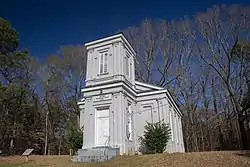
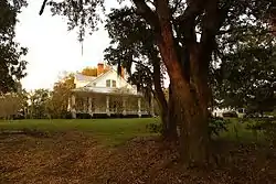
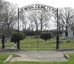
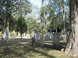
Current listings

.jpg.webp)


.jpg.webp)

.jpg.webp)


.jpg.webp)

Former listing
| [3] | Name on the Register | Image | Date listed | Date removed | Location | City or town | Description |
|---|---|---|---|---|---|---|---|
| 1 | Hollyrood | July 22, 1979 (#79003413) | January 31, 1992 | Old Hwy. 61 S |
Port Gibson | Destroyed by fire on March 5, 1990. | |
| 2 | Valley of the Moon Bridge | June 8, 2005 (#05000561) | September 28, 2017 | Willows Rd. at its crossing of Bayou Pierre, 2 miles southeast of Willows 32°01′03″N 90°52′37″W / 32.0175°N 90.876944°W |
Port Gibson | Replaced in 2011. |
See also
Wikimedia Commons has media related to National Register of Historic Places in Claiborne County, Mississippi.
References
- ↑ The latitude and longitude information provided in this table was derived originally from the National Register Information System, which has been found to be fairly accurate for about 99% of listings. Some locations in this table may have been corrected to current GPS standards.
- ↑ National Park Service, United States Department of the Interior, "National Register of Historic Places: Weekly List Actions", retrieved December 22, 2023.
- 1 2 Numbers represent an alphabetical ordering by significant words. Various colorings, defined here, differentiate National Historic Landmarks and historic districts from other NRHP buildings, structures, sites or objects.
- ↑ "National Register Information System". National Register of Historic Places. National Park Service. March 13, 2009.
- ↑ The eight-digit number below each date is the number assigned to each location in the National Register Information System database, which can be viewed by clicking the number.
- 1 2 3 4 5 6 Federal and state laws and practices restrict general public access to information regarding the specific location of this resource. In some cases, this is to protect archeological sites from vandalism, while in other cases it is restricted at the request of the owner. See: Knoerl, John; Miller, Diane; Shrimpton, Rebecca H. (1990), Guidelines for Restricting Information about Historic and Prehistoric Resources, National Register Bulletin, National Park Service, U.S. Department of the Interior, OCLC 20706997.
- ↑ Old Natchez Trace (No. 132-31) (Alternate names: Path to Choctaw Nation, Chickasaw Trace, Natchez Trace), National Register of Historic Places Inventory Nomination Form for Federal Properties, prepared September 9, 1974; received March 25, 1976; entered November 7, 1976
| Topics | |
|---|---|
| Lists by state |
|
| Lists by insular areas | |
| Lists by associated state | |
| Other areas | |
| Related | |
Municipalities and communities of Claiborne County, Mississippi, United States | ||
|---|---|---|
| City | Map of Mississippi highlighting Claiborne County | |
| CDPs | ||
| Other communities | ||
| Ghost towns | ||
This article is issued from Wikipedia. The text is licensed under Creative Commons - Attribution - Sharealike. Additional terms may apply for the media files.