| Lough MacNean | |
|---|---|
| Loch Mac nÉan (Irish) | |
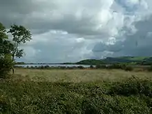
 Inishee on Lower Lough MacNean | |
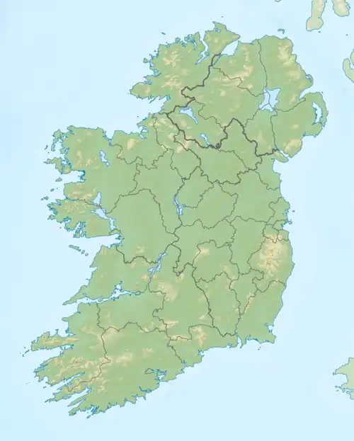
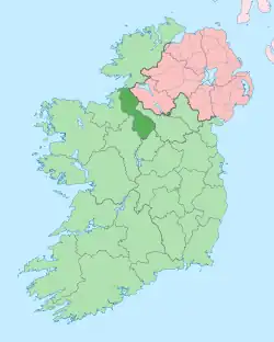
 Location in Ireland | |
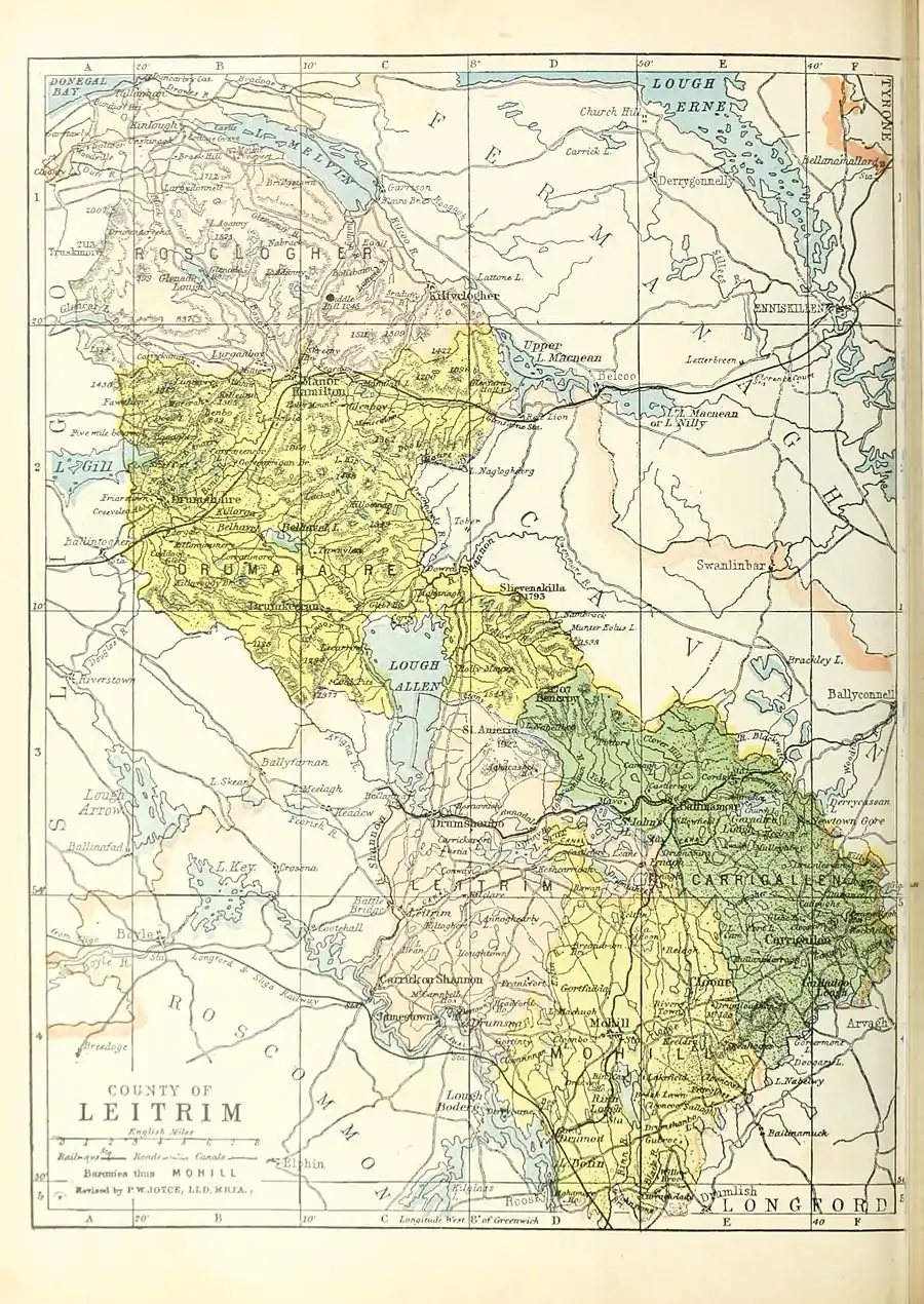
Map showing Upper (left) and Lower (right) Lough MacNean (1900). | |
| Location | County Fermanagh; County Cavan; County Leitrim |
| Coordinates | 54°17′20″N 7°50′0″W / 54.28889°N 7.83333°W |
| Type | Freshwater |
| Primary outflows | Arney River |
| Basin countries | Northern Ireland, Republic of Ireland |
| Settlements | Belcoo, Blacklion, Glenfarne |


Lough MacNean (from Irish Loch Mac nÉan, meaning 'Mac nÉan's lake')[1] is a large freshwater lake on the border between Northern Ireland and the Republic of Ireland.
It is in two parts. Lower Lough MacNean (or Lough Nilly),[1][2] the smaller eastern lake, is wholly within County Fermanagh (in Northern Ireland). Upper Lough MacNean, the larger western lake, is split between Fermanagh, County Cavan and County Leitrim (in the Republic of Ireland). On the strip of land between the two lakes are the villages of Belcoo (Fermanagh) and Blacklion (Cavan). A river runs between the villages, linking the eastern and western lakes.[3]
The shape of Lough MacNean changed during the 1960s when a major draining operation took place; before this, the lake was used for eel fishing, but dredging during the drainage process decimated their numbers.
Islands
- Upper Lough MacNean[3]
- Bilberry Island
- Garrow (or Buck) Islands
- Inishkeen
- Inishteig
- Kilrooskagh Island (from Irish Coill Rúsgach, meaning 'wood of the morass')
- Patrick's Island
- Port Island
- Rosscorkey Island
- Trawnish (from Irish Tráinis, meaning 'shore/strand island')
- Tuam Island (from Irish Tuaim, meaning 'tumulus')
- Lower Lough MacNean[3]
- Cushrush Island
- Inishee (from Irish Inis Aodha, meaning 'Aodh's island')
Cushrush, Inishteig, Kilrooscagh and Rosscorkey are now fayed to the land by small bridges.[3] Cushrush seems to have been dwelt since the Mesolithic period as many microlithic flint tools have been found there.
There are also the remains of two crannogs; one in each lake.[3] These were small manmade (or partially manmade) islands used as dwellings in ancient times.
See also
References
- 1 2 Placenames Database of Ireland
- ↑ The English Cyclopedia 1867 Page 498 " ... and is connected by a short stream about half a mile in length with Lough Nitty (sometimes called Lower Lough Macnean), .."
- 1 2 3 4 5 Ordnance Survey Ireland: Map Viewer
External links
- The Lough Macnean Valley – Northern Ireland Environment Agency


