This is a partial list of wooden covered bridges in the U.S. state of Maine.
Bridges
Extant
| Name | Image | Location (in Maine) | Built | Length | Truss | Notes |
|---|---|---|---|---|---|---|
| Babb's Bridge |  |
South Windham | 1864, 1976 | 79 feet (24 m) | Queen | Original bridge was burned by vandals in 1973. An exact replica was constructed and opened to traffic in 1976. |
| Hemlock Bridge |  |
Fryeburg | 1857 | 109 feet (33 m) | Paddleford truss with arch | Is remote, far down on Hemlock Bridge Road at the end of Frog Alley Road (a seasonal road gated in winter), off Route 5 North. Car and foot traffic. |
| Lowes Bridge | 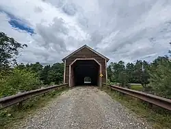 |
Guilford-Sangerville | 1857, 1990 | 146 feet (45 m) | Long | Washed away by the flood of April 1, 1987. A modern covered bridge, patterned after the original, was built on the original abutments in 1990. |
| Robyville Bridge | 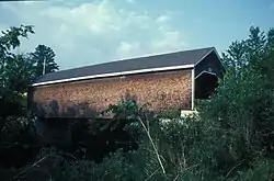 |
Corinth | 1876 | 73 feet (22 m) | Long | Only completely shingled covered bridge in the State. |
| Bennett Bridge | 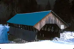 |
Lincoln Plantation | 1901 | 93 feet (28 m) | Paddleford truss | Spans the Magalloway River. |
| Lovejoy Bridge | 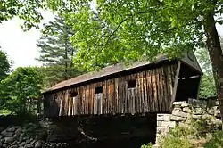 |
Andover | 1868 | 70 feet (21 m) | Paddleford truss | Spans the Ellis River and is Maine's shortest covered bridge. |
| Porter-Parsonfield Bridge | 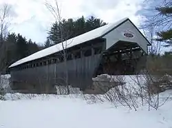 |
Porter | 1859 | 160 feet (49 m) | Paddleford truss | Built by the towns of Porter and Parsonfield as a joint project over the Ossipee River and was refurbished in 1999. It runs parallel to Route 160 just below Porter. Foot traffic only. |
| Sunday River Bridge | 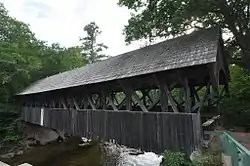 |
Newry | 1872 | 99 feet (30 m) | Paddleford truss | Named the Artist's Bridge because of its reputation as being the most photographed and painted of the venerable covered bridges in Maine. |
| Trout Brook Bridge | Alna | 2018 | 47 feet (14 m) | Boxed pony Howe |
Former
| Name | Image | Location (in Maine) | Built | Length | Truss | Notes |
|---|---|---|---|---|---|---|
| Union Falls Bridge | 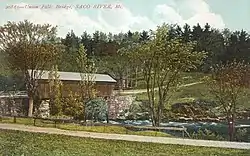 |
Dayton | 1860 | 112 feet
(34 m) |
Unknown | A covered bridge built at Union Falls, a village that used to be in Dayton. It was blown up in 1921.[1] |
| Watson Settlement Bridge | 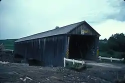 |
Littleton | 1911 | 170 feet (52 m) | Howe | Farthest north and the youngest of Maine's original covered bridges. Destroyed by fire on July 19, 2021.[2] |
See also
References
- ↑ "Union Falls, Old & New". BHHS Newsletter. Retrieved 2023-08-25.
- ↑ "Updates to the 2009 World Guide to Covered Bridges" (PDF). National Society for Preservation of Covered Bridges. 20 July 2021. Retrieved 21 July 2021.
- "National Register Information System". National Register of Historic Places. National Park Service. July 9, 2010.
- Caswell, William S. World Guide to Covered Bridges (2021 ed.). Concord, New Hampshire: National Society for the Preservation of Covered Bridges. pp. 35–37. ISBN 978-0-578-30263-8.
External links
Wikimedia Commons has media related to Covered bridges in Maine.
- National Society for the Preservation of Covered Bridges
- Maine Tourism article about the state's covered bridges
This article is issued from Wikipedia. The text is licensed under Creative Commons - Attribution - Sharealike. Additional terms may apply for the media files.