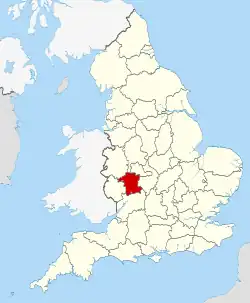
Worcestershire shown within England
There are over 9000 Grade I listed buildings in England. This page is a list of these buildings in the county of Worcestershire, by district.
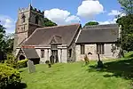
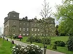
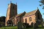
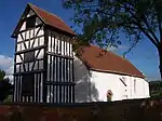
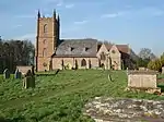
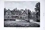
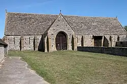
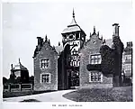
Bromsgrove
.jpg.webp)
.jpg.webp)
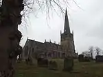
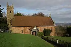
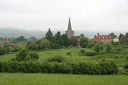
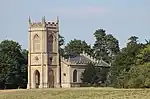
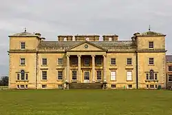
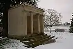
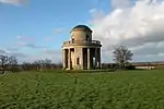
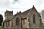
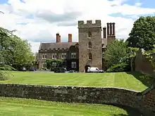
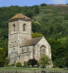
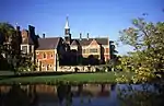
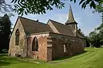
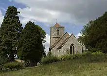
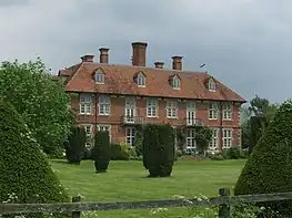
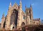
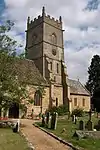
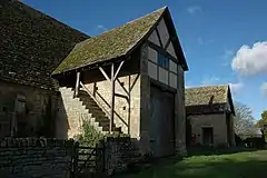
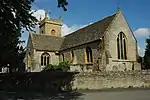
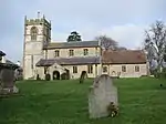
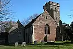
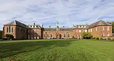
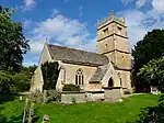
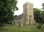
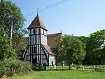
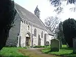
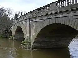
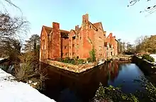
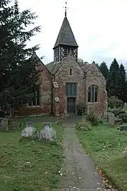
Malvern Hills

.jpg.webp)

.jpg.webp)


.jpg.webp)


_-_geograph.org.uk_-_1457356.jpg.webp)
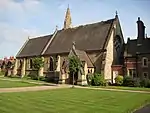
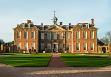
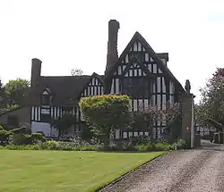
Redditch
| Name | Location | Type | Completed [note 1] | Date designated | Grid ref.[note 2] Geo-coordinates |
Entry number [note 3] | Image |
|---|---|---|---|---|---|---|---|
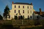
| Norgrove Court | Feckenham | Farmhouse | c. 1823 | 10 April 1954 | SP0071965377 52°17′12″N 1°59′27″W / 52.286531°N 1.990881°W |
1167093 |
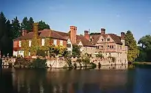
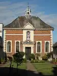
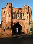
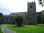
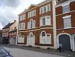
Worcester
.jpg.webp)


.jpg.webp)
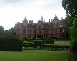
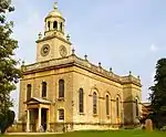
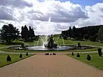
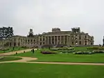
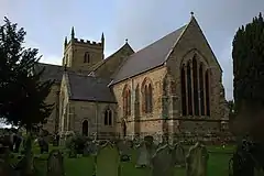
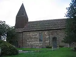
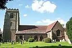
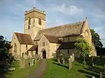
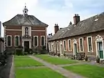
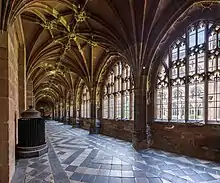
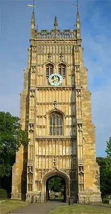
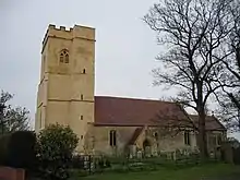
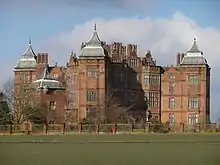
Wychavon
.jpg.webp)


.jpg.webp)
.jpg.webp)
.jpg.webp)
.jpg.webp)


.jpg.webp)


.jpg.webp)
.jpg.webp)
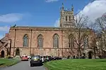
Wyre Forest

.jpg.webp)

See also
Category:Grade I listed buildings in Worcestershire
Notes
- 1 2 3 4 5 6 The date given is the date used by Historic England as significant for the initial building or that of an important part in the structure's description.
- 1 2 3 4 5 6 Sometimes known as OSGB36, the grid reference is based on the British national grid reference system used by the Ordnance Survey.
- 1 2 3 4 5 6 The "List Entry Number" is a unique number assigned to each listed building and scheduled monument by Historic England.
References
External links
![]() Media related to Grade I listed buildings in Worcestershire at Wikimedia Commons
Media related to Grade I listed buildings in Worcestershire at Wikimedia Commons
This article is issued from Wikipedia. The text is licensed under Creative Commons - Attribution - Sharealike. Additional terms may apply for the media files.