 Saglirjuaq  Saglirjuaq | |
| Geography | |
|---|---|
| Location | Fury and Hecla Strait |
| Coordinates | 69°46′09″N 83°08′37″W / 69.76917°N 83.14361°W |
| Archipelago | Arctic Archipelago |
| Administration | |
Canada | |
| Territory | Nunavut |
| Region | Qikiqtaaluk |
| Demographics | |
| Population | Uninhabited |
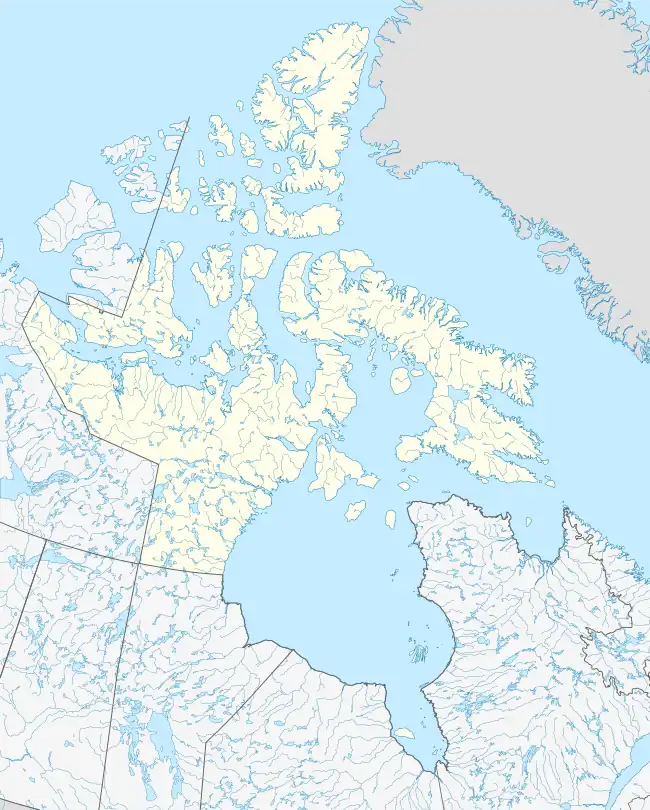
Saglirjuaq (Inuktitut syllabics: ᓴᒡᓕᕐᔪᐊᖅ[1]) formerly Liddon Island[2] is one of several irregularly shaped islands located in the Fury and Hecla Strait of Nunavut's Qikiqtaaluk Region within the northern Canadian Arctic. It is north of the mainland's Melville Peninsula, south of Baffin Island's Sikosak Bay, west of Simialuk, and east of Saglaarjuk.
It was given its European name for Lieutenant Matthew Liddon, an officer who accompanied Sir William Edward Parry during his search for the Northwest Passage 1819–1820.[3] During that voyage, rock crystal, common iron glance, and red iron ore were discovered on the island.[4]
References
- ↑ Saglirjuaq
- ↑ Saglirjuaq (Formerly Liddon Island)
- ↑ Taylor, Isaac (1898). Names and Their Histories: A Handbook of Historical Geography and Topographical Nomenclature. Rivingtons. pp. 173. OCLC 4161840.
liddon island.
- ↑ Parry, William Edward (1826). Journal of a Third Voyage for the Discovery of a Northwest Passage, from the Atlantic to the Pacific: Performed in the Years 1824-25, in His Majesty′s Ships Hecla and Fury, Under the Orders of Captain William E. Parry…. Philadelphia, PA: H. C. Carey and I. Lee. p. 220. OCLC 2457066.
This article is issued from Wikipedia. The text is licensed under Creative Commons - Attribution - Sharealike. Additional terms may apply for the media files.