La Corey | |
|---|---|
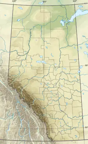 La Corey Location of La Corey 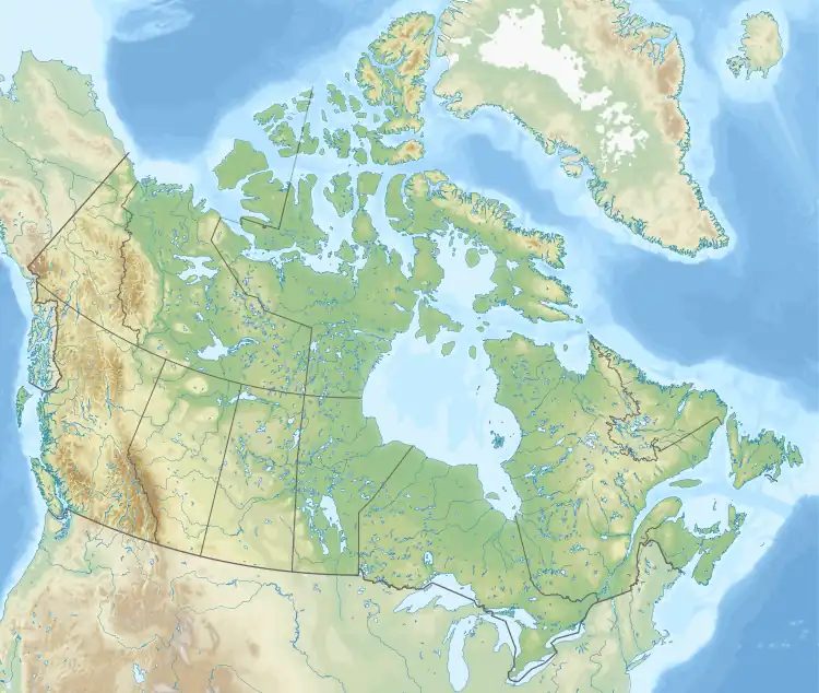 La Corey La Corey (Canada) | |
| Coordinates: 54°26′36″N 110°45′34″W / 54.44333°N 110.75944°W | |
| Country | Canada |
| Province | Alberta |
| Region | Central Alberta |
| Census division | 12 |
| Municipal district | Municipal District of Bonnyville No. 87 |
| Government | |
| • Type | Unincorporated |
| • Governing body | Municipal District of Bonnyville No. 87 Council |
| Population (2014)[1] | |
| • Total | 59 |
| Time zone | UTC−07:00 (MST) |
| • Summer (DST) | UTC−06:00 (MDT) |
| Area code(s) | 780, 587, 825 |
La Corey is a hamlet in central Alberta, Canada within the Municipal District of Bonnyville No. 87,[2] located on Highway 55 approximately 38 kilometres (24 mi) west of Cold Lake.
Demographics
In 2014, the population of La Corey according to the 2014 municipal census conducted by the Municipal District of Bonnyville No. 87 was 59.[1]
See also
References
- 1 2 "MD of Bonnyville 2014 Census Results". Municipal District of Bonnyville No. 87. p. 1. Retrieved September 25, 2021.
- ↑ Alberta Municipal Affairs (April 1, 2010). "Specialized and Rural Municipalities and Their Communities" (PDF). Archived from the original (PDF) on February 29, 2012. Retrieved June 20, 2010.
This article is issued from Wikipedia. The text is licensed under Creative Commons - Attribution - Sharealike. Additional terms may apply for the media files.