La Chorrera Airport | |||||||||||
|---|---|---|---|---|---|---|---|---|---|---|---|
| Summary | |||||||||||
| Airport type | Public | ||||||||||
| Operator | Aerocivil | ||||||||||
| Location | La Chorrera, Colombia | ||||||||||
| Coordinates | 1°27′25″S 72°48′05″W / 1.45694°S 72.80139°W | ||||||||||
| Map | |||||||||||
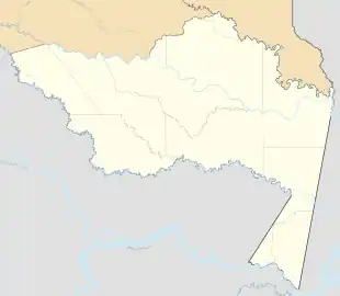 LCR 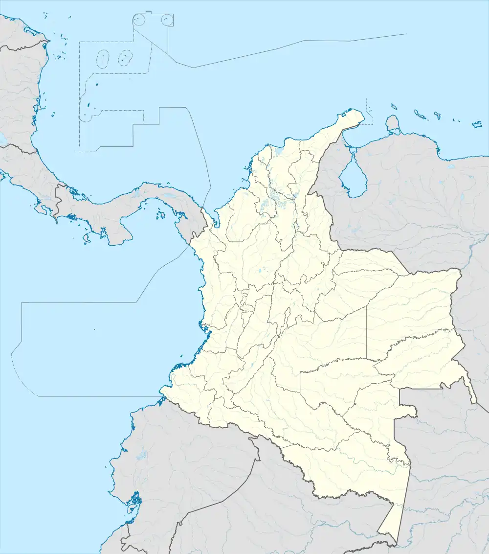 LCR | |||||||||||
| Runways | |||||||||||
| |||||||||||
La Chorrera Airport (IATA: LCR) is an airport serving the town of La Chorrera in the Amazonas Department of Colombia.
Airlines and destinations
| Airlines | Destinations |
|---|---|
| SATENA | Araracuara, Leticia |
See also
References
- ↑ Airport information for LCR at Great Circle Mapper.
- ↑ Google Maps - La Chorrera
External links
- OpenStreetMap - La Chorrera
- OurAirports - La Chorrera
- FallingRain - La Chorrera Airport
- HERE/Nokia - La Chorrera
- Accident history for LCR at Aviation Safety Network
This article is issued from Wikipedia. The text is licensed under Creative Commons - Attribution - Sharealike. Additional terms may apply for the media files.