L'Hermitage
| |
|---|---|
 A view of the town centre of L'Hermitage | |
Location of L'Hermitage | |
 L'Hermitage 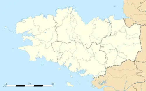 L'Hermitage | |
| Coordinates: 48°07′36″N 1°48′52″W / 48.1267°N 1.8144°W | |
| Country | France |
| Region | Brittany |
| Department | Ille-et-Vilaine |
| Arrondissement | Rennes |
| Canton | Le Rheu |
| Intercommunality | Rennes Métropole |
| Government | |
| • Mayor (2020–2026) | André Chouan[1] |
| Area 1 | 6.74 km2 (2.60 sq mi) |
| Population | 4,692 |
| • Density | 700/km2 (1,800/sq mi) |
| Time zone | UTC+01:00 (CET) |
| • Summer (DST) | UTC+02:00 (CEST) |
| INSEE/Postal code | 35131 /35590 |
| Elevation | 27–56 m (89–184 ft) |
| 1 French Land Register data, which excludes lakes, ponds, glaciers > 1 km2 (0.386 sq mi or 247 acres) and river estuaries. | |
L'Hermitage (French pronunciation: [lɛʁmitaʒ]; Breton: Ar Peniti; Gallo: L'Ermitaij) is a commune in the Ille-et-Vilaine department in Brittany in northwestern France.
Population
Inhabitants of L'Hermitage are called Hermitageois in French.
| Year | Pop. | ±% p.a. |
|---|---|---|
| 1968 | 1,404 | — |
| 1975 | 2,279 | +7.17% |
| 1982 | 3,039 | +4.20% |
| 1990 | 3,256 | +0.87% |
| 1999 | 3,093 | −0.57% |
| 2007 | 3,720 | +2.33% |
| 2012 | 3,958 | +1.25% |
| 2017 | 4,437 | +2.31% |
| Source: INSEE[3] | ||
See also
References
- ↑ "Répertoire national des élus: les maires". data.gouv.fr, Plateforme ouverte des données publiques françaises (in French). 2 December 2020.
- ↑ "Populations légales 2021". The National Institute of Statistics and Economic Studies. 28 December 2023.
- ↑ Population en historique depuis 1968, INSEE
External links
Wikimedia Commons has media related to L'Hermitage.
- Base Mérimée: Search for heritage in the commune, Ministère français de la Culture. (in French)
- Mayors of Ille-et-Vilaine Association Archived 2012-01-14 at the Wayback Machine (in French)
This article is issued from Wikipedia. The text is licensed under Creative Commons - Attribution - Sharealike. Additional terms may apply for the media files.