Kirnitzschtal | |
|---|---|
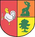
 Coat of arms | |
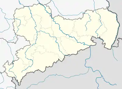
Location of Kirnitzschtal | |
 Kirnitzschtal  Kirnitzschtal | |
| Coordinates: 50°56′36″N 14°14′48″E / 50.94333°N 14.24667°E | |
| Country | Germany |
| State | Saxony |
| District | Sächsische Schweiz-Osterzgebirge |
| Disbanded | 1 October 2012 |
| Area | |
| • Total | 44.17 km2 (17.05 sq mi) |
| Elevation | 365 m (1,198 ft) |
| Population (2011-12-31) | |
| • Total | 2,083 |
| • Density | 47/km2 (120/sq mi) |
| Time zone | UTC+01:00 (CET) |
| • Summer (DST) | UTC+02:00 (CEST) |
| Postal codes | 01855 |
| Dialling codes | 035971 / 035022 |
| Vehicle registration | PIR |
| Website | Official website |
Kirnitzschtal is a former municipality in the Sächsische Schweiz-Osterzgebirge district, in Saxony, Germany. Since 1 October 2012, it is part of the town Sebnitz. It had its administrative seat in Lichtenhain.
The municipality was divided into the following 5 Ortsteile:
Photogallery
 View of the Kirnitzschtal area from the Affensteine rocks
 Kirnitzschtal Tramway at the Forsthaus halt near Mittelndorf
See also
References
External links
![]() Media related to Kirnitzschtal at Wikimedia Commons
Media related to Kirnitzschtal at Wikimedia Commons
This article is issued from Wikipedia. The text is licensed under Creative Commons - Attribution - Sharealike. Additional terms may apply for the media files.