| Kensal Rise | |
|---|---|
 | |
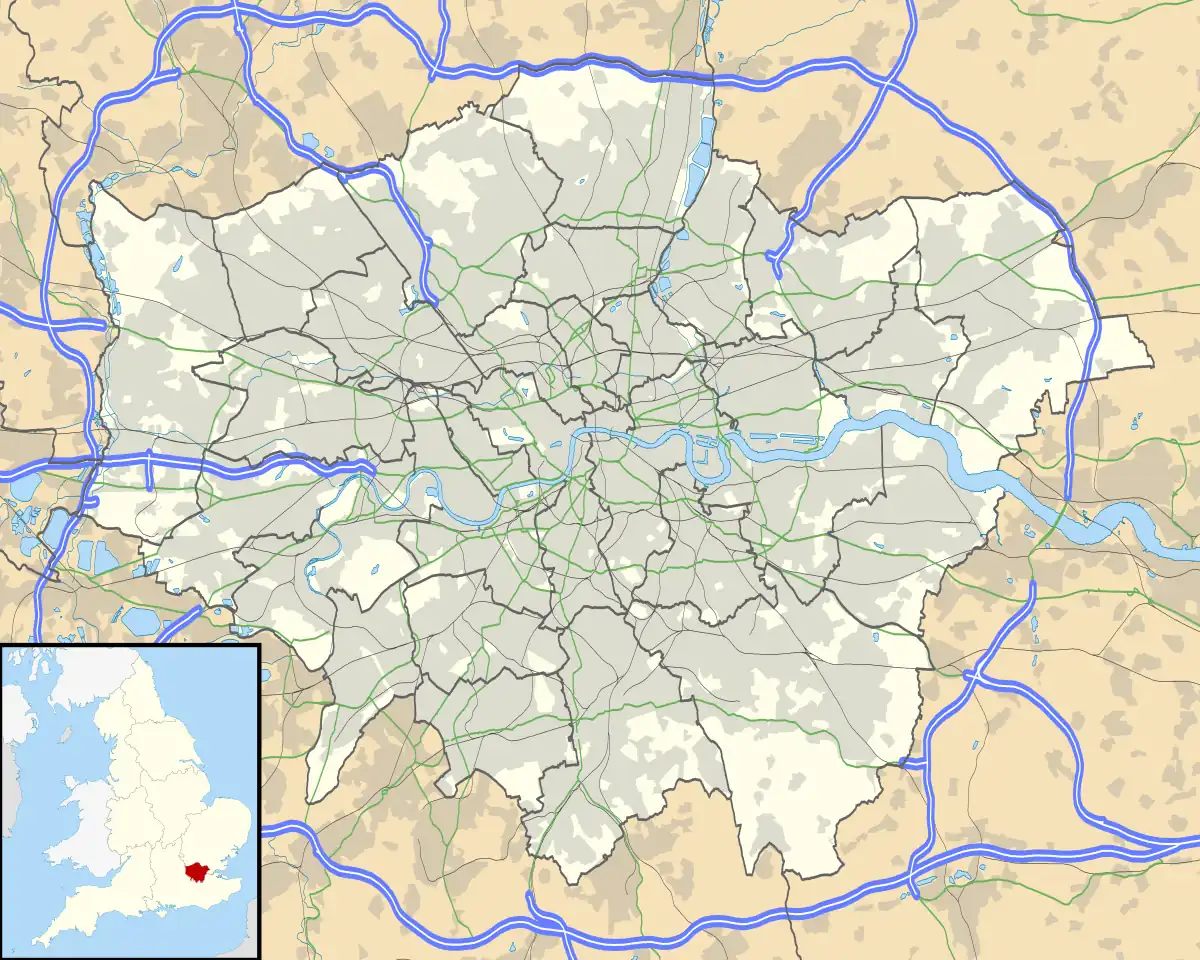 Kensal Rise Location of Kensal Rise in Greater London | |
| Location | Queens Park |
| Local authority | London Borough of Brent |
| Grid reference | TQ235832 |
| Managed by | London Overground |
| Owner | Network Rail |
| Station code | KNR |
| DfT category | E |
| Number of platforms | 2 |
| Accessible | Yes[1][2][3] |
| Fare zone | 2 |
| National Rail annual entry and exit | |
| 2018–19 | |
| 2019–20 | |
| 2020–21 | |
| 2021–22 | |
| 2022–23 | |
| Key dates | |
| 1873 | Opened |
| Other information | |
| External links | |
| WGS84 | 51°32′03″N 0°13′15″W / 51.5342°N 0.2208°W |
Kensal Rise is a London Overground station on the North London line on Chamberlayne Road, Kensal Rise in north-west London. The station is in Fare Zone 2.
London Overground | |||||||||||||||||||||||||||||||||||||||||||||||||||||||||||||||||||||||||||||||||||||||||||||||||||||||||||||||||||||||||||||||||||||||||||||||||||||||||||||||||||||||||||||||||||||||||||||||||||||||||||||||||||||||||||||||||||||||||||||||||||||||||||||||||||||||||||||||||||||||||||||||||||||||||||||||||||||||||||
|---|---|---|---|---|---|---|---|---|---|---|---|---|---|---|---|---|---|---|---|---|---|---|---|---|---|---|---|---|---|---|---|---|---|---|---|---|---|---|---|---|---|---|---|---|---|---|---|---|---|---|---|---|---|---|---|---|---|---|---|---|---|---|---|---|---|---|---|---|---|---|---|---|---|---|---|---|---|---|---|---|---|---|---|---|---|---|---|---|---|---|---|---|---|---|---|---|---|---|---|---|---|---|---|---|---|---|---|---|---|---|---|---|---|---|---|---|---|---|---|---|---|---|---|---|---|---|---|---|---|---|---|---|---|---|---|---|---|---|---|---|---|---|---|---|---|---|---|---|---|---|---|---|---|---|---|---|---|---|---|---|---|---|---|---|---|---|---|---|---|---|---|---|---|---|---|---|---|---|---|---|---|---|---|---|---|---|---|---|---|---|---|---|---|---|---|---|---|---|---|---|---|---|---|---|---|---|---|---|---|---|---|---|---|---|---|---|---|---|---|---|---|---|---|---|---|---|---|---|---|---|---|---|---|---|---|---|---|---|---|---|---|---|---|---|---|---|---|---|---|---|---|---|---|---|---|---|---|---|---|---|---|---|---|---|---|---|---|---|---|---|---|---|---|---|---|---|---|---|---|---|---|---|---|---|---|---|---|---|---|---|---|---|---|---|---|---|---|---|---|---|---|---|---|---|---|---|---|---|---|---|---|---|---|---|---|
| |||||||||||||||||||||||||||||||||||||||||||||||||||||||||||||||||||||||||||||||||||||||||||||||||||||||||||||||||||||||||||||||||||||||||||||||||||||||||||||||||||||||||||||||||||||||||||||||||||||||||||||||||||||||||||||||||||||||||||||||||||||||||||||||||||||||||||||||||||||||||||||||||||||||||||||||||||||||||||
Legend | |||||||||||||||||||||||||||||||||||||||||||||||||||||||||||||||||||||||||||||||||||||||||||||||||||||||||||||||||||||||||||||||||||||||||||||||||||||||||||||||||||||||||||||||||||||||||||||||||||||||||||||||||||||||||||||||||||||||||||||||||||||||||||||||||||||||||||||||||||||||||||||||||||||||||||||||||||||||||||
| |||||||||||||||||||||||||||||||||||||||||||||||||||||||||||||||||||||||||||||||||||||||||||||||||||||||||||||||||||||||||||||||||||||||||||||||||||||||||||||||||||||||||||||||||||||||||||||||||||||||||||||||||||||||||||||||||||||||||||||||||||||||||||||||||||||||||||||||||||||||||||||||||||||||||||||||||||||||||||
History
It opened in 1873 as Kensal Green, replacing Kensal Green & Harlesden railway station which opened in 1861 at the crossing of Green Lane (later Wrottesley Road), lying in between the present station and Willesden Junction. The present station was renamed Kensal Rise in 1890.[5] It is close to the newer Kensal Green station built on the Watford DC Line in 1916. Since late 2007 both stations are now served by London Overground, although Kensal Green is managed by London Underground, being additionally served by the Bakerloo line.
Services
Trains from this station are operated using Class 378 EMUs. The current weekday off-peak service from Kensal Rise is:[6]
- 8 tph to Stratford
- 4 tph to Richmond
- 4 tph to Clapham Junction
| Preceding station | Following station | |||
|---|---|---|---|---|
| Willesden Junction towards Richmond or Clapham Junction |
North London line | Brondesbury Park towards Stratford | ||
Connections
The station is well served for onward travel as London Bus routes 6, 28, 52, 187, 302 and 452 either pass by or terminate at the station.
Accessibility
Kensal Rise became fully step-free in November 2015, with the addition of a lift.
See also
References
- ↑ London Overground Map (PDF) (Map). Transport for London. May 2018. Archived (PDF) from the original on 7 November 2018.
- ↑ Standard Tube Map (PDF) (Map). Not to scale. Transport for London. November 2022. Archived (PDF) from the original on 7 November 2022. Retrieved 12 November 2022.
- ↑ "Step free Tube Guide" (PDF). Transport for London. April 2021. Archived (PDF) from the original on 15 May 2021.
- 1 2 3 4 5 "Estimates of station usage". Rail statistics. Office of Rail Regulation. Please note: Some methodology may vary year on year.
- ↑ Joe Brown (2006). London Railway Atlas. Ian Allan Publishing.
- ↑ "London Overground timetables".
External links
- Excel file displaying National Rail station usage information for 2005/06 Archived 22 January 2013 at the Wayback Machine
- Train times and station information for Kensal Rise railway station from National Rail
| |||||||||||||||||||||