Karoti | |
|---|---|
rural | |
| Nickname: karuti | |
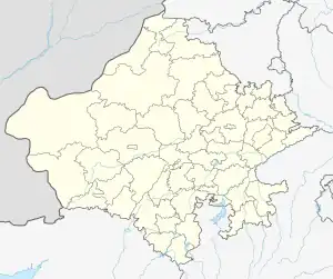 Karoti Location in Rajasthan, India | |
| Coordinates: 24°35′23″N 72°33′47″E / 24.58972°N 72.56306°E | |
| Country | |
| State | Rajasthan |
| District | Sirohi district |
| Government | |
| • Body | Gram Panchayat |
| Area | |
| • Total | 1.5 km2 (0.6 sq mi) |
| • Rank | 3 |
| Elevation | 249 m (817 ft) |
| Population (2011) | |
| • Total | 683 |
| • Density | 460/km2 (1,200/sq mi) |
| Languages | |
| • Official | Hindi, marwadi |
| Time zone | UTC+5:30 (IST) |
| Vehicle registration | RJ-24 |
| SBBJ,BOB | reodar |
| Lok Sabha constituency | Jalore (Lok Sabha constituency) |
| Vidhan Sabha constituency | Reodar |
| Civic agency | Gram Panchayat |
Karoti is a village in Sirohi District of Rajasthan state in India. It is situated 48 km southwest of the Sirohi headquarters of the district in Reodar tehsil. Lunol village is to the north and Dolpura is to the south. Mandar is the main village connecting to Gujarat.
This article is issued from Wikipedia. The text is licensed under Creative Commons - Attribution - Sharealike. Additional terms may apply for the media files.