Haleangadi | |
|---|---|
village | |
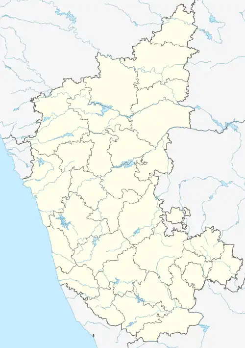
 Haleangadi Location in Karnataka, India  Haleangadi Haleangadi (India) | |
| Coordinates: 13°02′46″N 74°46′34″E / 13.046°N 74.776°E | |
| Country | |
| State | Karnataka |
| District | Dakshina Kannada |
| Government | |
| • Type | grama panchayat |
| Languages | |
| • Official | Kannada |
| Time zone | UTC+5:30 (IST) |
| PIN | 574146 |
| Telephone code | 0824 228 |
| Vehicle registration | ka 19 |
| Nearest city | Mangalore |
| Lok Sabha constituency | Mangalore |
Haleangadi or Haleyangady is a village in Mangalore taluk of Dakshina Kannada district of Karnataka. It literally means "Old shop" in the Kannada language, although Byari,Tulu is local lingo. It is a junction on National Highway 66 which connects Cochin to Panvel. An adjacent road goes from NH-66 towards Pakshikere, Kinnigoli, and Kateel. There is also a road from Haleangady to Koluvail towards Arabian sea. This small town is situated in Dakshina Kannada district of Karnataka. It's about 24 km north of Mangalore city.
External links
This article is issued from Wikipedia. The text is licensed under Creative Commons - Attribution - Sharealike. Additional terms may apply for the media files.