Weedon | |
|---|---|
 | |
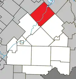 Location within Le Haut-Saint-François RCM. | |
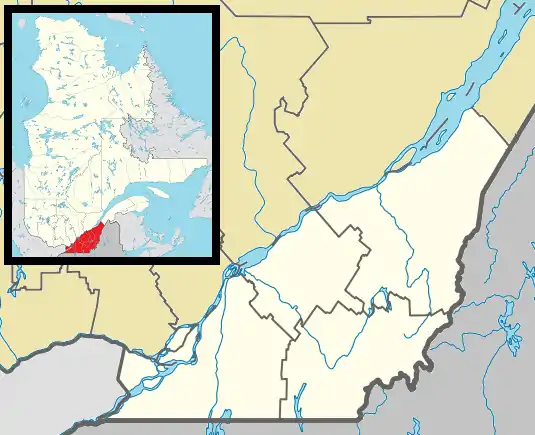 Weedon Location in southern Quebec. | |
| Coordinates: 45°42′N 71°28′W / 45.700°N 71.467°W[1] | |
| Country | |
| Province | |
| Region | Estrie |
| RCM | Le Haut-Saint-François |
| Constituted | February 9, 2000 |
| Government | |
| • Mayor | Jean-Claude Dumas |
| • Federal riding | Compton—Stanstead |
| • Prov. riding | Mégantic |
| Area | |
| • Total | 225.00 km2 (86.87 sq mi) |
| • Land | 216.62 km2 (83.64 sq mi) |
| Population | |
| • Total | 2,683 |
| • Density | 12.4/km2 (32/sq mi) |
| • Pop 2006-2011 | |
| Time zone | UTC−5 (EST) |
| • Summer (DST) | UTC−4 (EDT) |
| Postal code(s) | |
| Area code | 819 |
| Highways | |
| Website | www |
Weedon is a municipality of 2,683 people in Le Haut-Saint-François Regional County Municipality, in Quebec, Canada.[3]
On February 9, 2000, the village municipality of Saint-Gérard merged into Weedon.[4]
References
- ↑ "Banque de noms de lieux du Québec: Reference number 339510". toponymie.gouv.qc.ca (in French). Commission de toponymie du Québec.
- 1 2 "Répertoire des municipalités: Geographic code 41098". www.mamh.gouv.qc.ca (in French). Ministère des Affaires municipales et de l'Habitation.
- 1 2 3 "Weedon, Quebec (Code 2441098) Census Profile". 2011 census. Government of Canada - Statistics Canada.
- ↑ "Modifications aux Municipalités du Québec" (PDF) (in French). Archived from the original (PDF) on 2006-12-30. Retrieved 2023-11-02.
External links
 Media related to Weedon, Quebec at Wikimedia Commons
| Cities & Towns | |
|---|---|
| Municipalities | |
| Townships | |
| |
This article is issued from Wikipedia. The text is licensed under Creative Commons - Attribution - Sharealike. Additional terms may apply for the media files.