| Einkorn | |
|---|---|
 The Einkorn (2007), seen from the west. | |
| Highest point | |
| Elevation | 510 m (1,670 ft) |
| Prominence | 490 m (1,610 ft) |
| Coordinates | 49°05′N 09°47′E / 49.083°N 9.783°E |
| Geography | |
 Einkorn | |
| Parent range | Limpurg Hills |

The ruins of the pilgrimage church and the observation tower, seen from the southeast.

The Bombensee lake in the Einkornwald woods, seen from its northern shore.
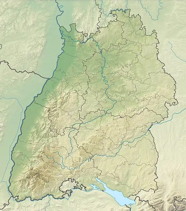
The Einkorn is a 510 metre high hill spur in the northern Limpurg Hills near Hessental in the borough of Schwäbisch Hall. It has the ruins of a baroque pilgrimage church that was dedicated to the Fourteen Holy Helpers. The hill is located in the German state of Baden-Württemberg.
This article is issued from Wikipedia. The text is licensed under Creative Commons - Attribution - Sharealike. Additional terms may apply for the media files.