36°22′48″N 3°54′5″E / 36.38000°N 3.90139°E
Bouïra
Tubiret / البويرة Garanda | |
|---|---|
| Bouira | |
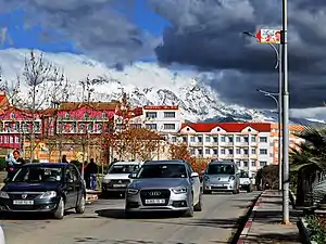
 Beautiful mountains view | |
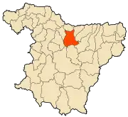
 Location of the City within Bouïra province | |
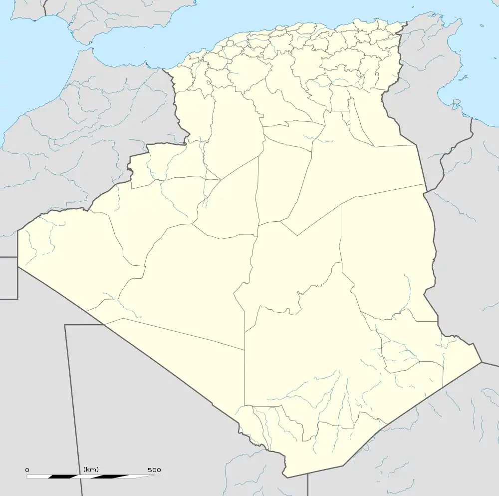
 Bouïra Location in Algeria | |
| Coordinates: 36°22′00″N 3°53′00″E / 36.36666°N 3.88333°E | |
| Country | |
| Province | Bouïra Province |
| District | Bouïra District |
| Area | |
| • Total | 127.55 km2 (49.25 sq mi) |
| Highest elevation | 600 m (2,000 ft) |
| Lowest elevation | 580 m (1,900 ft) |
| Population (2008) | |
| • Total | 88,801 |
| • Density | 700/km2 (1,800/sq mi) |
| Time zone | UTC+1 (CET) |
| Postal code | 10000 |
| Climate | Csa |
Bouïra is the capital of Bouïra Province, Algeria.[1] The city is also called "Garanda" by the locals.
Demographics
It has 75,086 inhabitants as of the 1998 census,[2] which gives it 15 seats in the PMA.
| Year | Population[3] |
|---|---|
| 1954 | 18,200 |
| 1966 | 16,600 |
| 1987 | 35,600 36,500 (municipality) |
| 1998 | 52,500 |
Geography
It is located in the geographical heart of the province. It borders the municipality of Ait Laziz in the north, Aïn Turk in the north-east (home to the largest aqueduct in Africa), Aïn El Hadjar in the east, El Hachimia in the south-east, Oued El Berdi in the south, El Asnam in the south-west, Haizer in the west, and Taghzourt in the north-west.
Climate
| Climate data for Bouïra | |||||||||||||
|---|---|---|---|---|---|---|---|---|---|---|---|---|---|
| Month | Jan | Feb | Mar | Apr | May | Jun | Jul | Aug | Sep | Oct | Nov | Dec | Year |
| Mean daily maximum °C (°F) | 12.0 (53.6) |
12.6 (54.7) |
16.3 (61.3) |
19.7 (67.5) |
23.8 (74.8) |
29.6 (85.3) |
34.1 (93.4) |
33.9 (93.0) |
28.5 (83.3) |
24.0 (75.2) |
16.3 (61.3) |
12.7 (54.9) |
22.0 (71.5) |
| Daily mean °C (°F) | 6.6 (43.9) |
6.9 (44.4) |
10.2 (50.4) |
13.4 (56.1) |
17.3 (63.1) |
22.5 (72.5) |
26.5 (79.7) |
26.2 (79.2) |
21.7 (71.1) |
17.6 (63.7) |
11.0 (51.8) |
7.6 (45.7) |
15.6 (60.1) |
| Mean daily minimum °C (°F) | 2.0 (35.6) |
2.0 (35.6) |
4.6 (40.3) |
7.2 (45.0) |
10.7 (51.3) |
15.1 (59.2) |
18.7 (65.7) |
19.0 (66.2) |
15.8 (60.4) |
12.1 (53.8) |
6.6 (43.9) |
3.4 (38.1) |
9.8 (49.6) |
| Average precipitation mm (inches) | 88 (3.5) |
78 (3.1) |
84 (3.3) |
86 (3.4) |
74 (2.9) |
21 (0.8) |
8 (0.3) |
19 (0.7) |
53 (2.1) |
60 (2.4) |
81 (3.2) |
82 (3.2) |
734 (28.9) |
| Source: Climate data.org(1991-2021)[4] | |||||||||||||
Transportation
The Autoroute A2 passes through the city.
References
- ↑ "Tuviret : émeute et destruction d'urnes électorales à Saharidj". Siwel (in French). 10 May 2012. Retrieved 13 December 2020.
- ↑ "Wilaya de Bouira" (PDF). joradp.dz (in French). Retrieved 21 August 2023.
- ↑ "populstat.info". Archived from the original on 3 March 2016.
- ↑ "Bouira Climate: Temperature & Weather by month". Climate data. Retrieved 28 July 2023.
External links
Wikimedia Commons has media related to Bouira.
This article is issued from Wikipedia. The text is licensed under Creative Commons - Attribution - Sharealike. Additional terms may apply for the media files.
.svg.png.webp)